
1909/10 - 1919/30/38
<--1897/98 (1909 - 1938) 1946-->
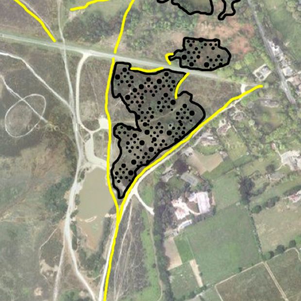
| By 1909 the main gravel pit has extended slightly further south and none of it is shown as over-grown. Maps from the 1930's were based on mapping in 1919 but the 1938 map looks remarkably similar to those from 1909/10. Assuming that it was accurate, there was no pond at Setley post World War 1, and probably none before World War 2. |
(View Index Page)
(to close this window, click on the main window, or use the "close" button on your browser)