
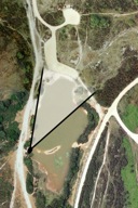
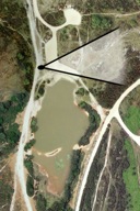
Setley-on-Sea 2001
(click on thumbnails for larger image)
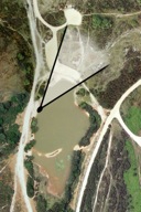
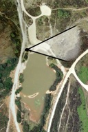
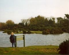
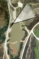 View A |
 View A - © G.R.E.Yeatman 2001 |
View from the western bank looking past the pond sign at the car park and the (normally dry) area beyond it. The row of posts marks the edge of the car park furthest from the pond. | ||
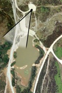
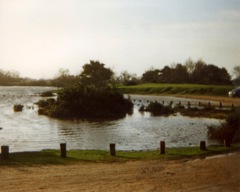
 View B |
 View B - © G.R.E.Yeatman 2001 |
View from a position close to the (under water) planks on the western bank back towards the flooded car park and the area beyond. | ||
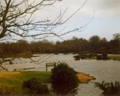
 View C |
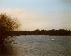 View C - © G.R.E.Yeatman 2001 |
An overall view of the pond from a position on the western bank close to where the island would be if the water level were lower. | ||
 View D |
 View D - © G.R.E.Yeatman 2001 |
The boys are paddling across the car park where the water has a browner colour compared to the water covering the land to the north of the car park. The actual "pond" is off the right hand edge of this photo. | ||
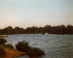
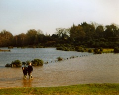
 View E |
 View E - © G.R.E.Yeatman 2001 |
The central area of this view is normally car park. The actual "pond" extends off to the right. | ||
 View F |
 View F - © G.R.E.Yeatman 2001 |
View from the northern, smaller car park area towards the flooded main car park and, in the distance, the pond! |