
1972/74 - present
<--1970/72 (1972/74) Present Day-->
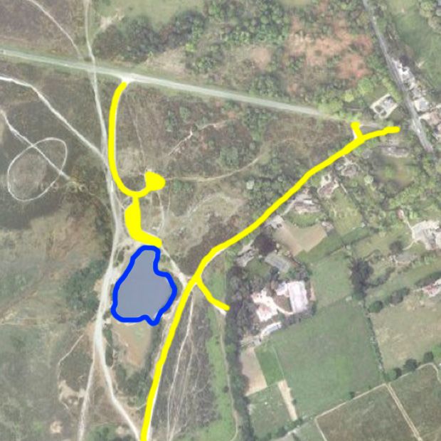
| By 1972 the present day layout of the car park areas is shown. Only the area of the pond north of the island is marked as water and this persists on OS maps up to the present. Presumably the pond level was low when the survey was done! It appears that it was sometime in the late 1970's or early 80's that the car park areas were enclosed by wooden posts and rails. |
(View Index Page)
(to close this window, click on the main window, or use the "close" button on your browser)